
3D Point Clouds
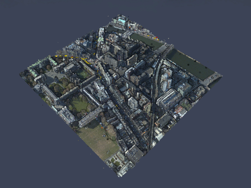
Dublin lidar
A glorious high-density lidar point cloud colorized with 5cm RGB imagery find more here source data
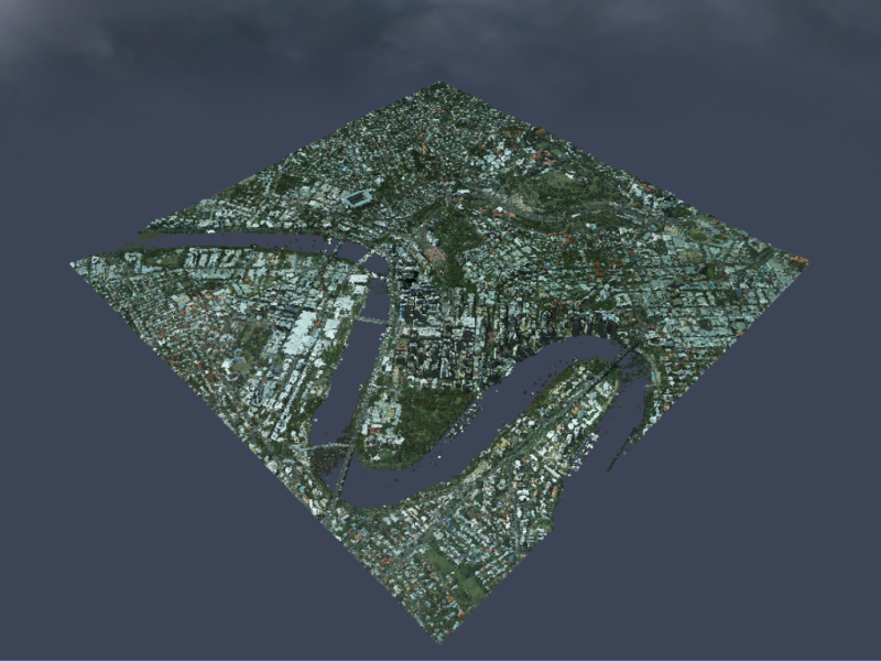
Brisbane lidar
Lidar point cloud of Brisbane colorized with 10cm RGB imagery
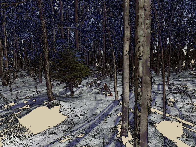
HWRC Single Photon
Single-photon lidar acquired in Fall 2017 for the Hubachek Wilderness Research Center
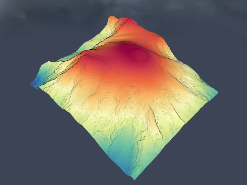
Mt Rainier
lidar elevation of Mt Rainier located in Washington
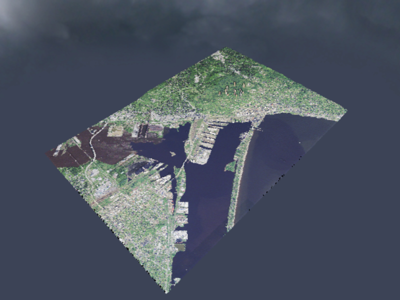
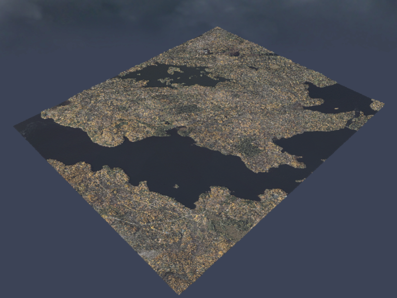
Duluth Lidar
Lidar point cloud for Duluth, colorized with NAIP imagery
Terrestrial Lidar
A terrestrial lidar scan from the ground. This is a composite of 5 different scans using a Faro scanner.
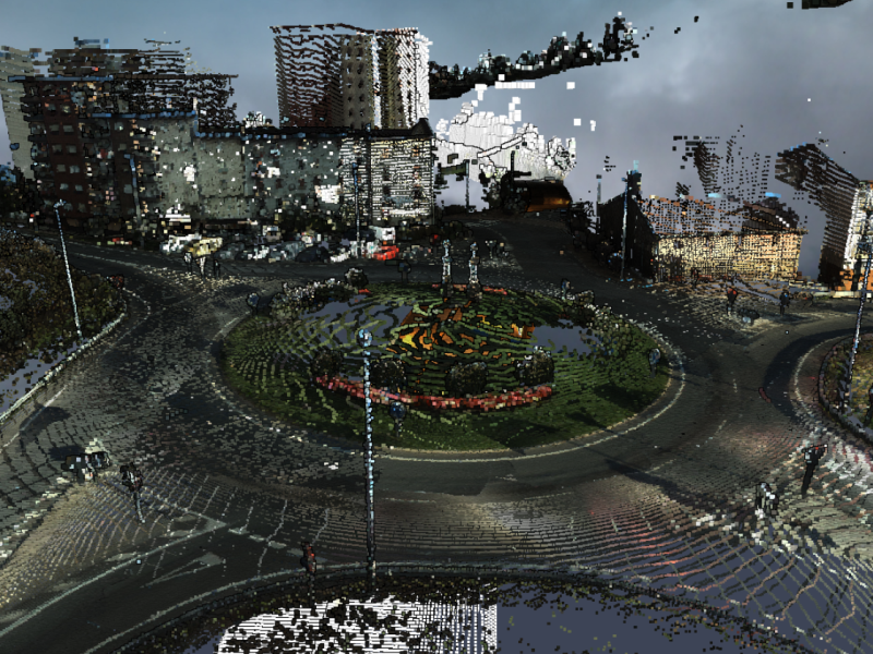
Spain Mobile lidar
A mobile lidar dataset from the Gipuzkoa province in Spain