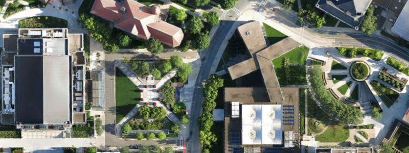
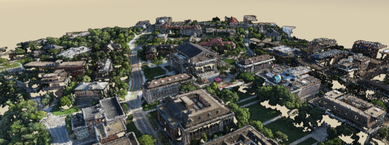
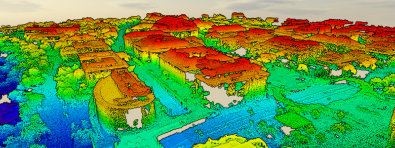
3D Point Clouds

About
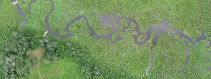
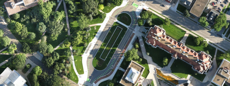
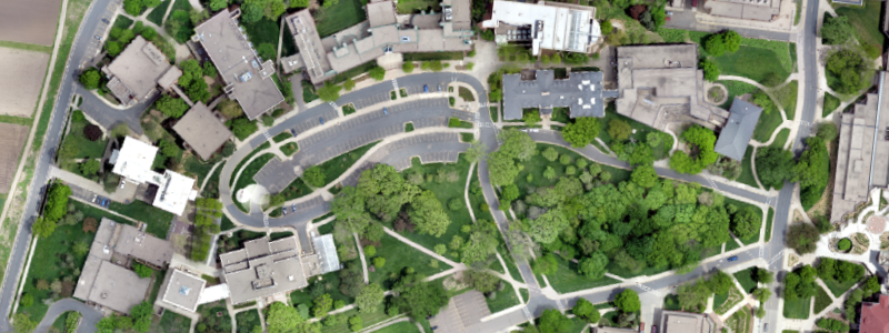
Our mission is to advance the development and application of remote sensing and geospatial analysis to inventory and monitor natural resources and environment through research and outreach. Much of the research is conducted in cooperation with public agencies in Minnesota. In addition faculty associated with the RSGAL are actively involved with instruction and graduate education.
Contact
jknight@umn.edu
Saint Paul, MN
(612) 624-3459
Powered by w3.css