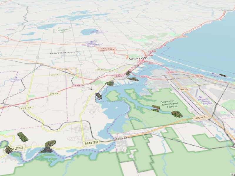
GLRI photogrammetric point cloud collection
During summer 2017, many UAS missions were completed in the St. Louis River Estuary and nearby coastal wetlands on the shore of Lake Superior.
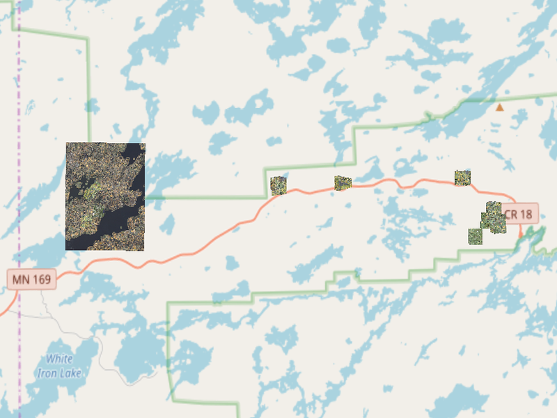
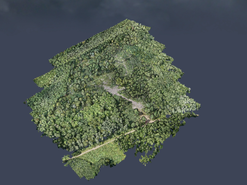
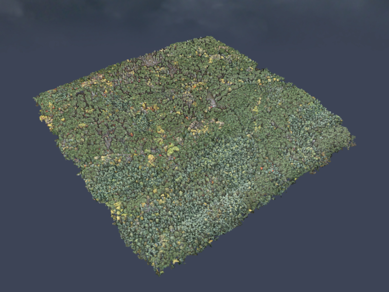
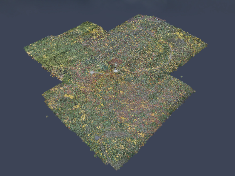
Superior National Forest
A collection of lidar and UAS derived point clouds that were collected in the Superior National Forest in Fall 2017. This area is adjecent to the popular wilderness Boundary Waters Canoe Area and is an area of high importance.
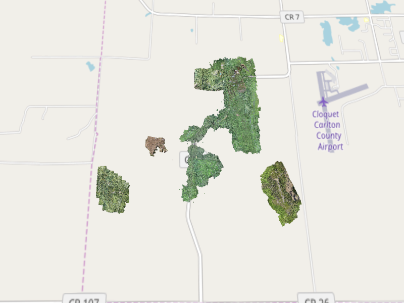
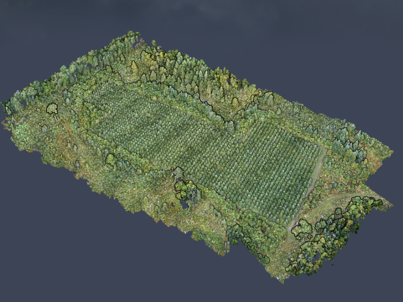
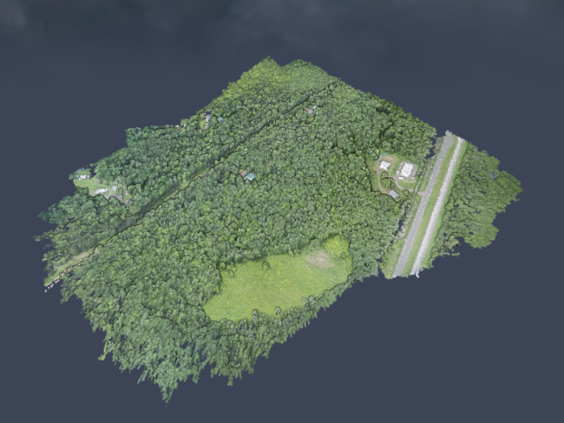
Cloquet Forestry Center
The mission of the Cloquet Forestry Center is to connect people and ideas to build understanding of northern forest ecosystems through field-based research, education, and outreach. These UAS derived point clouds were collected to research data applications for forest management and provide insight to the land managers.
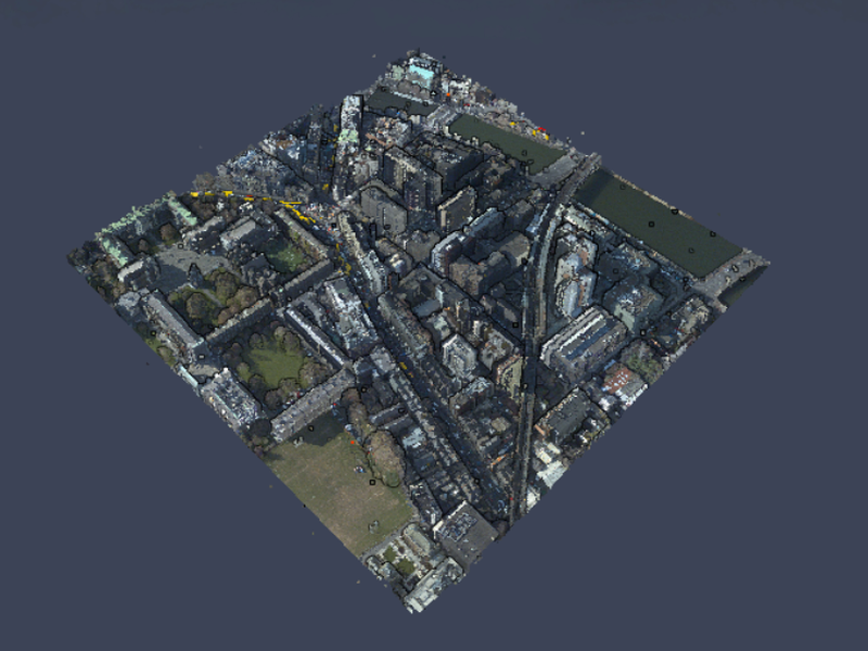
Dublin lidar
A glorious high-density lidar point cloud colorized with 5cm RGB imagery find more here source data
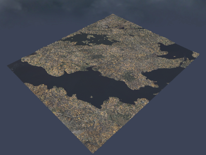
Brisbane lidar
Lidar point cloud of Brisbane colorized with 10cm RGB imagery
HWRC Single Photon
Single-photon lidar acquired in Fall 2017 for the Hubachek Wilderness Research Center
Minnetonka Bur Oak
This bur oak was targeted by the UMN urban forestry team to prune and improve canopy structure. We acquired UAS imagery in Winter 2019 and created this 3D point cloud.
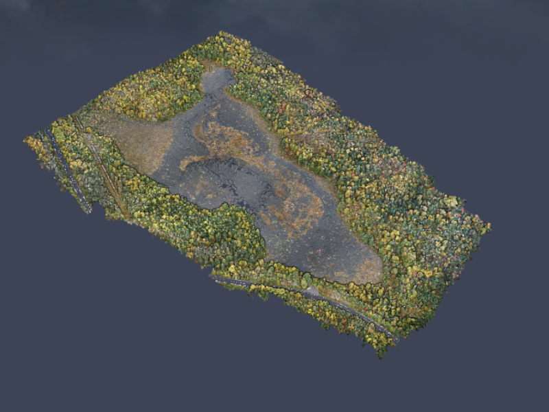
SNF - Rookie Lake
A lake in Superior National Forest with significant emergent aquatic vegetation. UAS imagery derived point cloud.
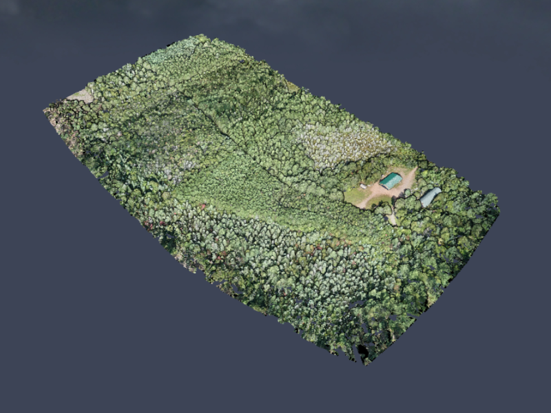
Cloquet Forestry Center - Fisher
A photogrammetric point cloud of a multi-use site at the Cloquet Forestry Center that is being managed for Fisher habitat
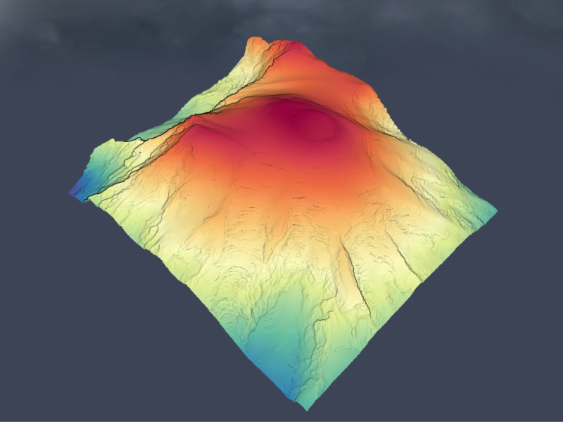
Mt Rainier
Lidar elevation of Mt Rainier located in Washington
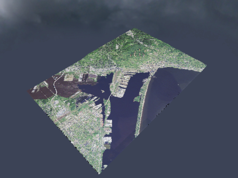
Duluth Lidar
Lidar point cloud for Duluth, colorized with NAIP imagery
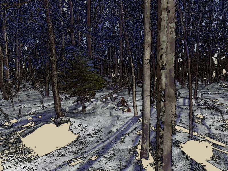
Terrestrial Lidar
A terrestrial lidar scan from the ground. This is a composite of 5 different scans using a Faro scanner.
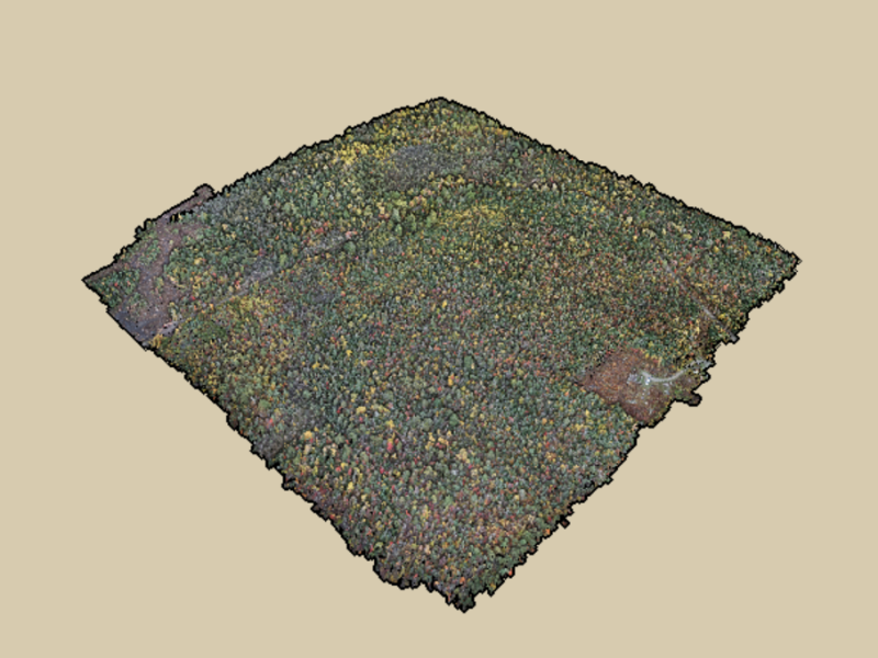
Minnesota Forest
A Minnesota shaped forest that is located in Lake of the Woods County.
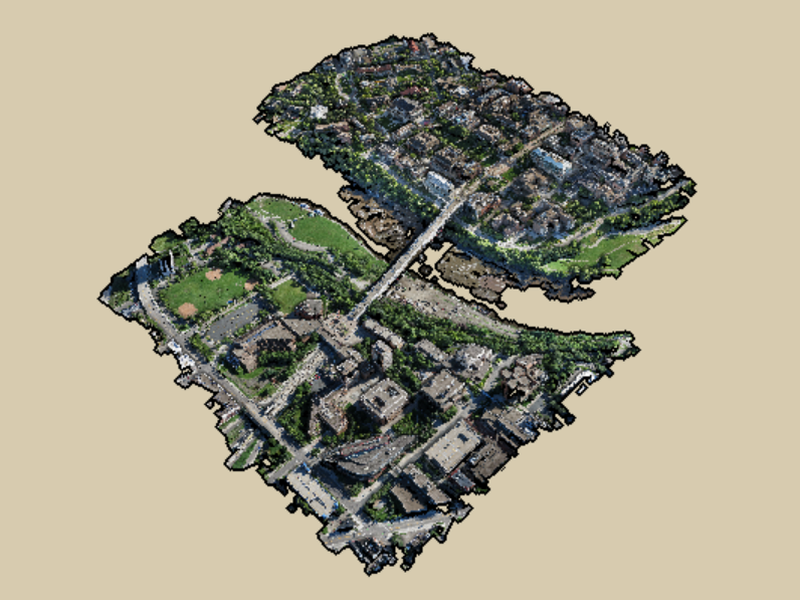
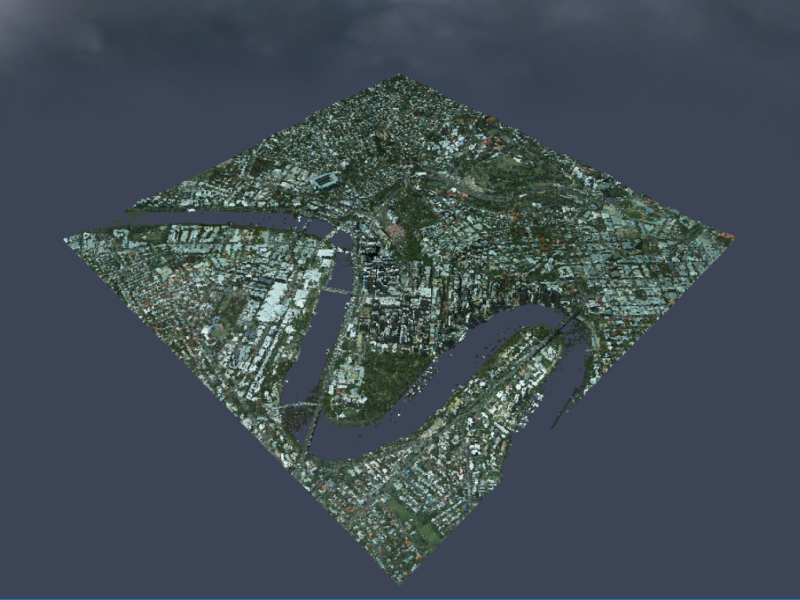
UMN - Minneapolis
East and West banks of the Minneapolis campus
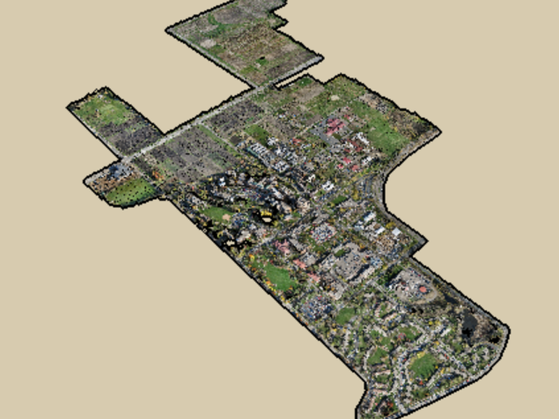
UMN - St. Paul Fall
2015 Fall imagery collection of the St. Paul campus.
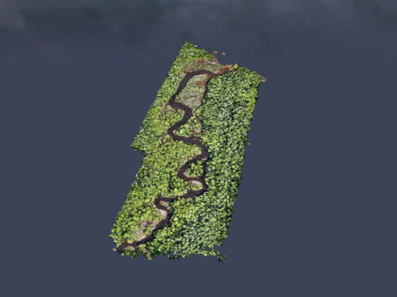
Middle River
The Middle River follows a sinuous fluvial pattern as it flows into Lake Superior in Northern Wisconsin.
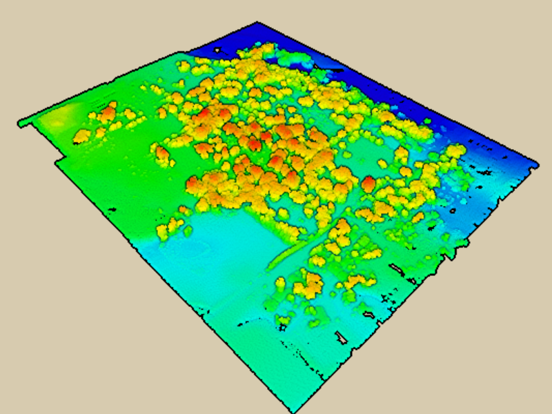
SNF - Height normalized
Height normalized point cloud
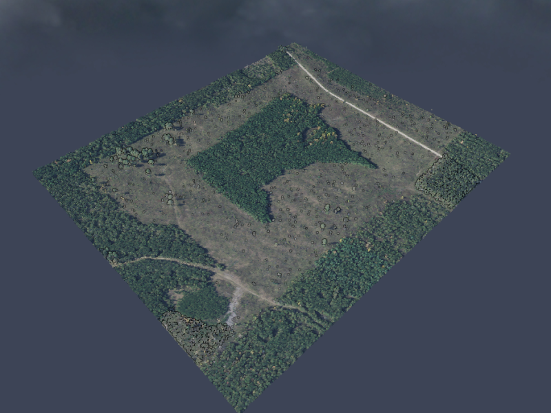
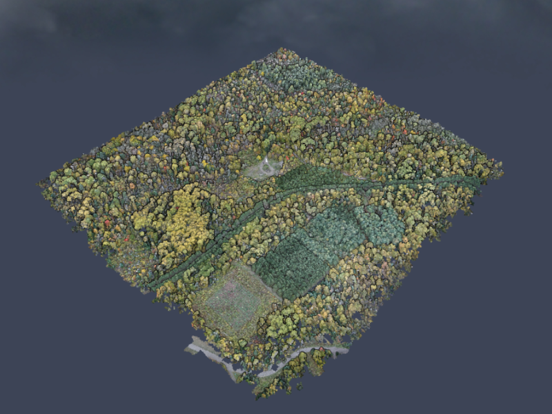
SNF - Lookout A
Mixed forest region in Superior National Forest. High diversity of tree species creates an interesting landscape.
Spruce Study Plot
A grid of spruce trees are used for treatment testing
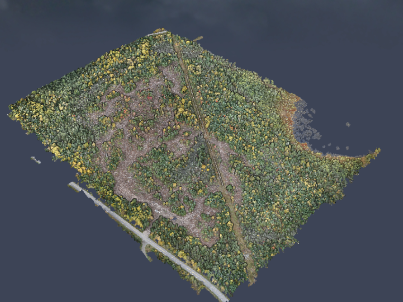
Timber Harvest Area
A timber harvest in the Superior National Forest. Monitoring tree regeneration in harvested areas is an important part of sustainable forestry.
SNF Lookout Height
Height normalized point cloud composite of three missions. Oct 4, 2017.
St. Michael's
St Michael's cemetery in Stillwater, MN. This point cloud is a combination of UAS derived points and lidar ground points
CFC East 2018
The Cloquet Forestry Center is a University research center
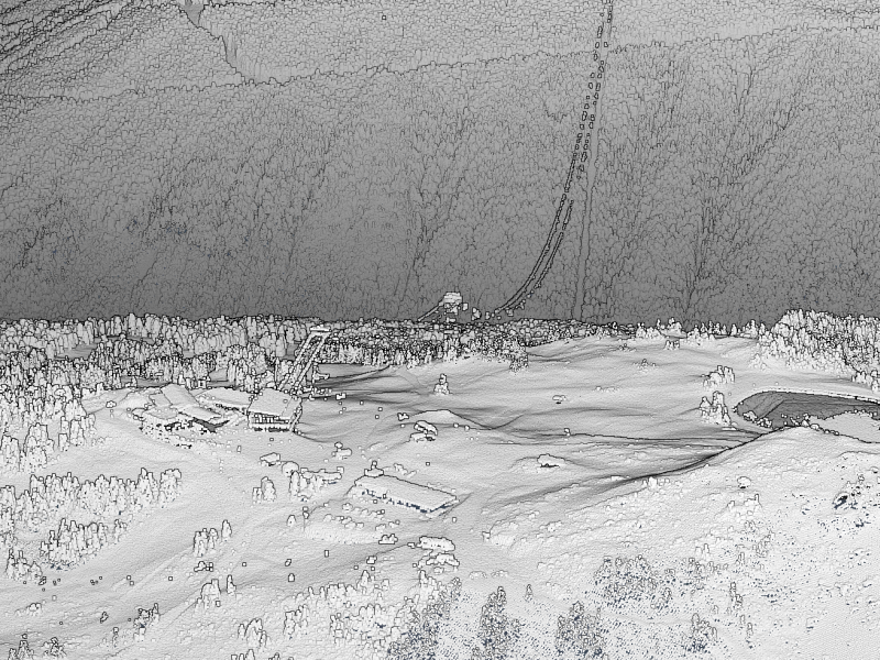
HWRC Grounds
The Hubachek Wilderness Research Center pine plantations in October 2017.
Erickson
Erickson road near Cloquet river in Independence, MN
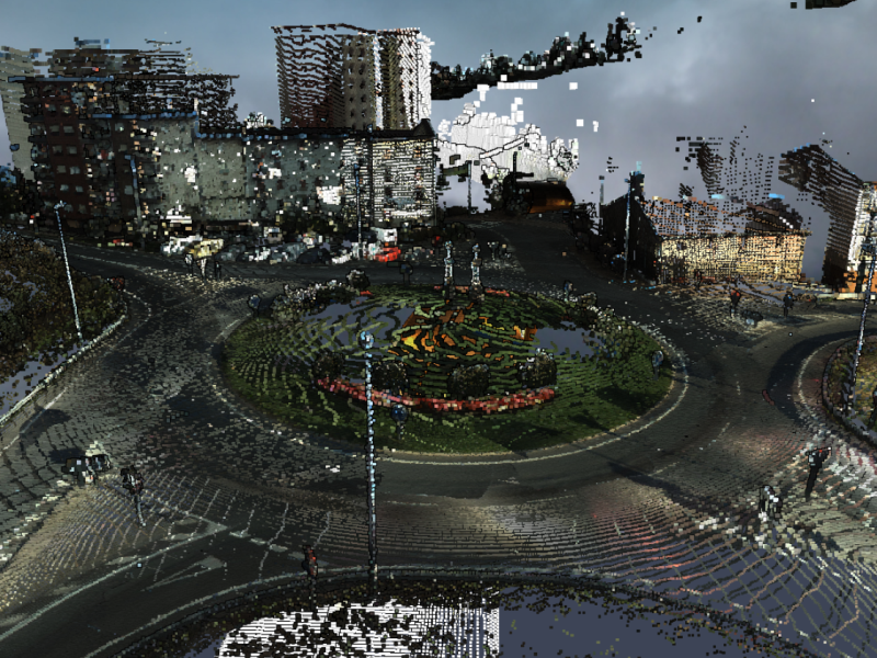
Spain Mobile lidar
A mobile lidar dataset from the Gipuzkoa province in Spain
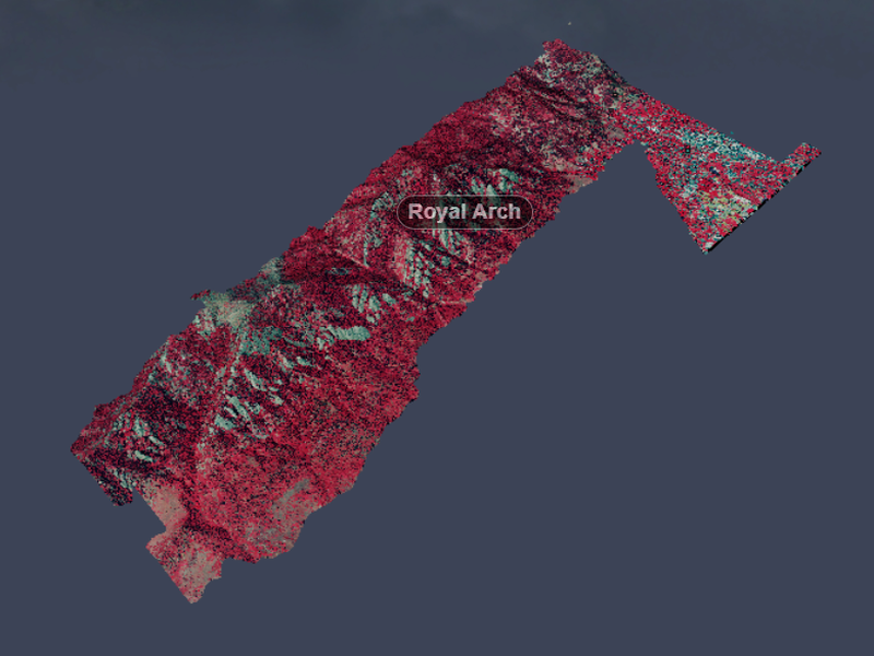
Flatirons at Boulder, CO
Unique geology along the mountain ridge that overlooks Boulder, Colorado
Whistler-Blackcomb, BC
Need some relief? Take a look at this point cloud of the Whistler-Blackcomb mountains located in British Columbia, Canada


About
Our mission is to advance the development and application of remote sensing and geospatial analysis to inventory and monitor natural resources and environment through research and outreach. Much of the research is conducted in cooperation with public agencies in Minnesota. In addition faculty associated with the RSGAL are actively involved with instruction and graduate education.
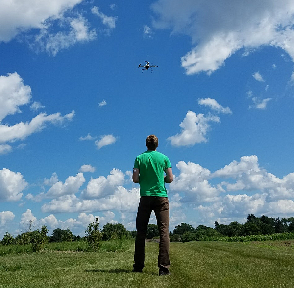
Trevor Host
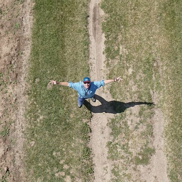
Dan Heins
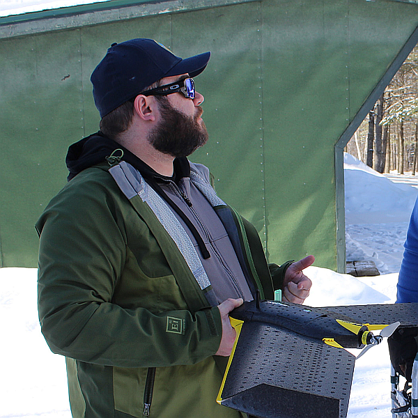
Keith Pelletier
Contact
jknight@umn.edu
Saint Paul, MN
(612) 624-3459